Services
Construction
We provide quality deliverables including site progression, inspection reports, mapping, marketing materials and more. Ask us about our Construction Site Drone Services, customizable to fit your needs.
.JPG/:/cr=t:0%25,l:5.66%25,w:88.68%25,h:100%25/rs=w:360,h:270.6766917293233,cg:true)
Commercial

Residential

Industrial
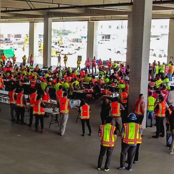
Events & Promotions
Let us capture those special moments of your events to help make lasting memories.

Sporting Events, Promotions, & Community Activities
Corporate & Social Events
.jpg/:/cr=t:5.42%25,l:26.95%25,w:46.51%25,h:84.75%25/rs=w:360,h:360,cg:true,m)
Weddings & Private Events
Inspections
We provide safe, quick, and efficient assessments for general inspections, damage assessments, property management, and more.

Insurance and Property Management
